File:MAP - World Map of Natural Hazards (Munic RE, 2011).jpg
From Ice Age Farmer Wiki

Size of this preview: 800 × 565 pixels. Other resolutions: 320 × 226 pixels | 640 × 452 pixels | 1,024 × 723 pixels | 1,280 × 904 pixels | 3,410 × 2,407 pixels.
Original file (3,410 × 2,407 pixels, file size: 1.14 MB, MIME type: image/jpeg)
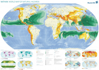
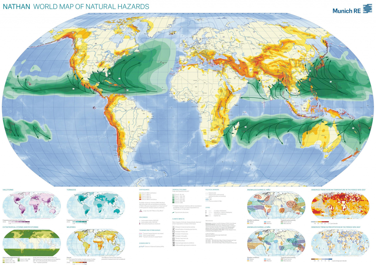
Hazards by type: Earthquakes, Tropical Cyclones, Volcanoes, etc Includes trends in precepitation, mean temperature, etc. Data only up to 2007 (later versions are part of expensive 'Nathan' Package, sold by the company Munich:RE)
File history
Click on a date/time to view the file as it appeared at that time.
| Date/Time | Thumbnail | Dimensions | User | Comment | |
|---|---|---|---|---|---|
| current | 09:46, 4 January 2018 | | 3,410 × 2,407 (1.14 MB) | Nanomyou5 (talk | contribs) | Hazards by type: Earthquakes, Tropical Cyclones, Volcanoes, etc Includes trends in precepitation, mean temperature, etc. Data only up to 2007 (later versions are part of expensive 'Nathan' Package, sold by the company Munich:RE) |
- You cannot overwrite this file.
File usage
The following page links to this file:
.jpg&oldid=819)
.jpg)
.jpg&action=edit&redlink=1)
.jpg&action=edit)
.jpg&action=history)
.jpg)
.jpg)
.jpg&oldid=819)
.jpg&action=info)